Van Bushkirk Burial Ground
45 East Saddle River Road
Saddle River, NJ 07458
https://www.findagrave.com/cemetery/2160733/edit

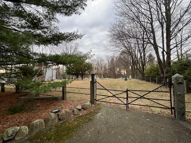
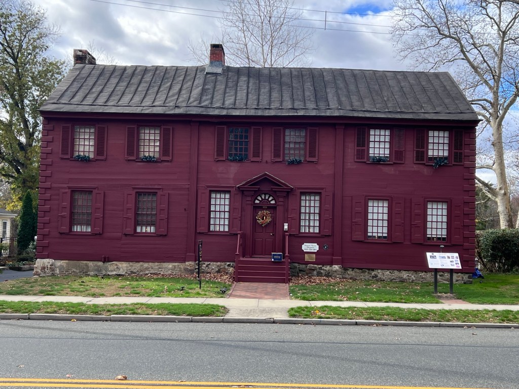
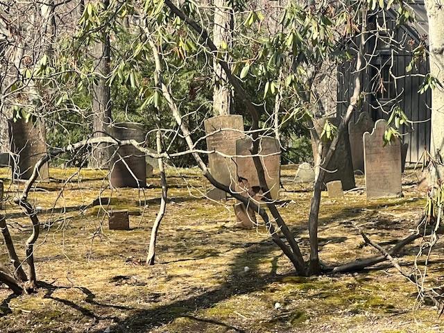
The Van Bushkirk Burial Ground behind the residence at 45 East Saddle River Road
The Van Bushkirk Burial Ground is part of the history of Saddle River, NJ’s early settlement period. The burial ground has about 40 tombstones that are arched and shaped. These are some of the first residents both of Saddle River and Bergen County, NJ.
The burial ground lies next to a creek off East Saddle River Road and can only be accessed by going through private property of the residents living at 45 East Saddle River Road. Please do not enter without permission of the owner of the home. These pictures were taken with a long distance camera from the street.

The Van Bushkirk Burial Ground at 45 East Saddle River Road
The History of Saddle River:
(from the Saddle River Town website):
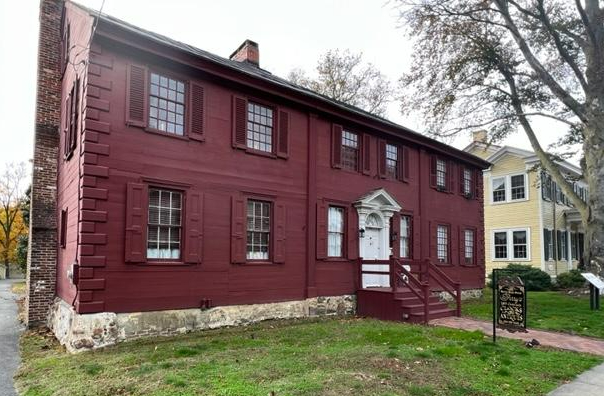
In 1675, Lenni Lenape tribal leaders sold a large amount of land on the Eastern side of the Saddle River (known as Werimus) to Albert Zabriskie. In 1708, Zabriskie sold this tract of land to Thomas Van Buskirk. The first house in Saddle River was built by the Van Buskirk family in 1709. The original Van Buskirk homestead still stands at 164 East Saddle River Road across from Borough Hall.
In 1709, the Lenni Lenape sold the land on the west side of the Saddle River to the English as part of the Ramapo Tract. Property on the west side of the Saddle River was acquired from this Tract throughout the 1700’s. The Ackerman Family was the most prolific buyer of these early Saddle River parcels and first settled on the West side of the Saddle River in 1745 when Johannes Ackerman acquired 245 acres.

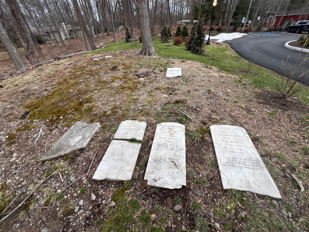
The graves of George and Margaret Achenbach
Saddle River continued to grow and populate during the 18th century. Families such as the Van Buskirk’s, the Ackerman’s, the Achenbach’s, the Hopper’s, the Zabriskie’s, the Stilwell’s and the Baldwin’s farmed and developed the area.

The grave of George Achenbach
The first of many Saddle River mills was built in 1714 and the first school was constructed in 1720. Another early 18th century business was the blacksmith shop operated by the Ackerman family. Over the years, these 1st families built the quintessential “Old Dutch Homesteads” from actual sandstone that was found in town.

The Revolutionary War era tombstones
The Revolutionary War was a horrendous time for the residents of Saddle River. The townsfolk had spent the entire 18th century developing the area into a well established community and all growth essentially stopped during the war. Since the Jersey Dutch initially considered the revolution to be an English issue, it was particularly shocking when the fighting came to their backyards. From December 1776 until the end of the war, both American and British forces traveled through Saddle River and many times set up camp in the center of town.
Residents were in constant fear of the British employed Hessian soldiers who would terrorize families by raiding the houses for food and then burning the fields before leaving. Although no major battles took place in Saddle River, there were small skirmishes to fend off raids and the Blue Mill on East Saddle River Road was destroyed. Even George Washington, the future father of our country, passed through Saddle River on multiple occasions and tradition has him staying overnight at the Ackerman Homestead on the East road.
When the Revolutionary War ended, Saddle River residents picked up right where they left off in terms of community and industry development. The Ackerman’s built a Foundry on what is now Waterford Gardens. Tice and Berdan both opened stores in town and the Bulls Head Tavern opened its doors to weary travelers in 1802. Old mills were re-opened and new ones such as Van Riper’s Saw Mill and Basket Factory were established. The post war growth continued for decades and culminated in the 1820s with the construction of the Zion Lutheran Church in 1821 and a new schoolhouse behind the church in 1825.

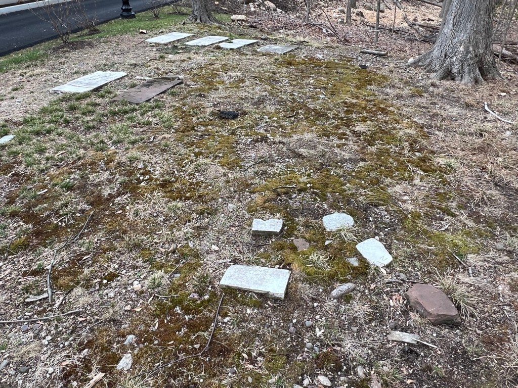
The worn tombstones in the cemetery
History of the Van Bushkirk family in Bergen County during the Revolutionary War:
(From the Bergen County Historical Society website):
Loyalists in Bergen County | Bergen County Historical Society
Loyalists in Bergen County came from all backgrounds, religions and economic classes. At the beginning of the war, a number were officers in the militia, the military force composed of all able-bodied males maintained by each province, and later the states. The lieutenant colonel of the militia was John Zabriskie of New Bridge. Zabriskie understood the sentiments of many of his neighbors, particularly those of Abraham Van Buskirk, whose property was directly across the bridge in Teaneck. Van Buskirk was a surgeon in the militia under Zabriskie, and with whom he served on Bergen County’s Committee of Correspondence, an entity established to keep in touch with other New Jersey counties and the events occurring there.