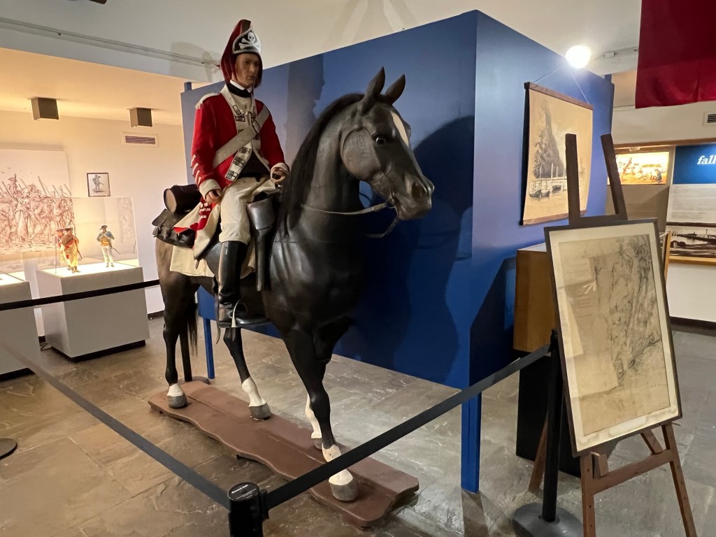
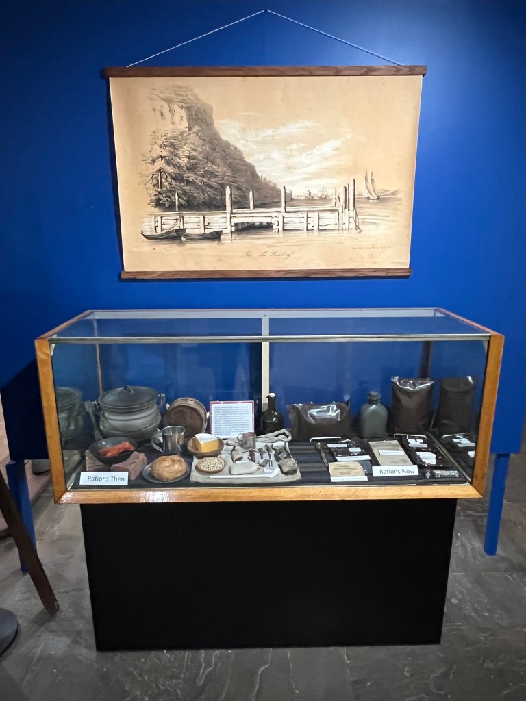
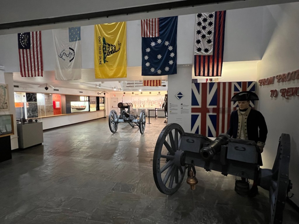
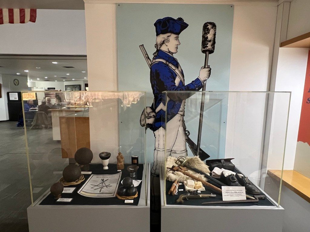
The Visitors Center offers a very interesting and thorough display of the Revolutionary and of the War effort by ordinary citizens.
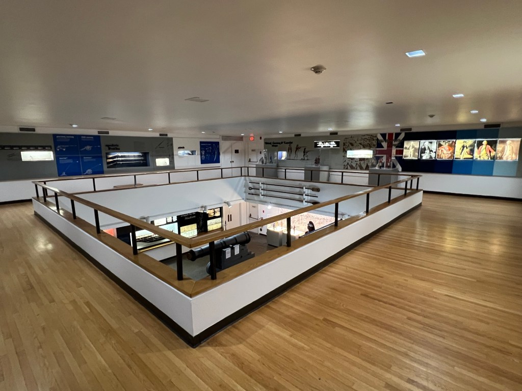
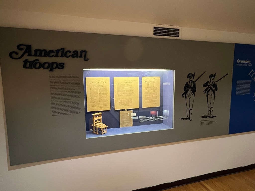
The Main Gallery of the Visitors Center
About the park:
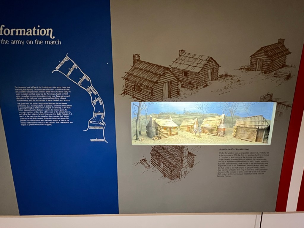
Fort Lee Historic Park is set on 33 landscaped acres atop the Palisades just south of the George Washington Bridge, with spectacular overlooks of the Hudson, Manhattan, and the George Washington Bridge. There are a Visitor Center and Museum, reconstructed 18th Century soldier hut and campsite, and reconstructed gun batteries.
Fort Lee has been named as a significant stop on the Hudson River Valley National Heritage Area Revolutionary War trail (The Fort Lee Historic Park website).
The Visitor’s Center and Museum of the site tells the story of the battles fought, the retreats done and the important role that Fort Lee played in the history and foundation of this country. Each display shows the life and times of these brave men and women who survived famine and war to help build a nation.
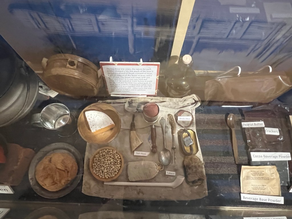
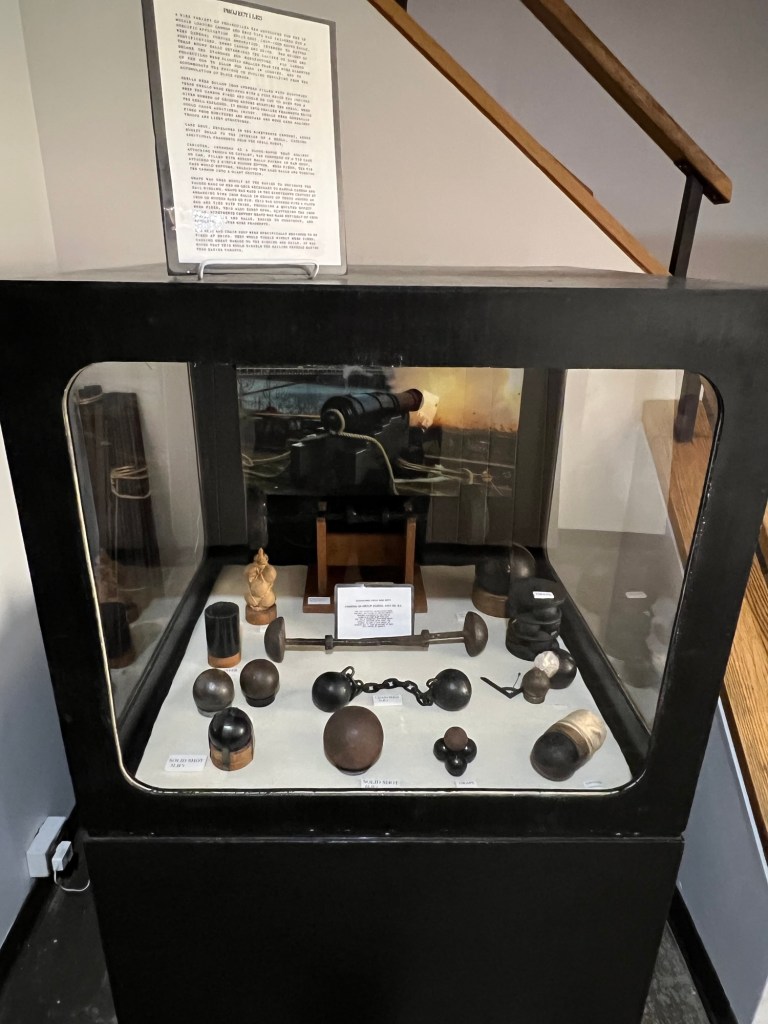
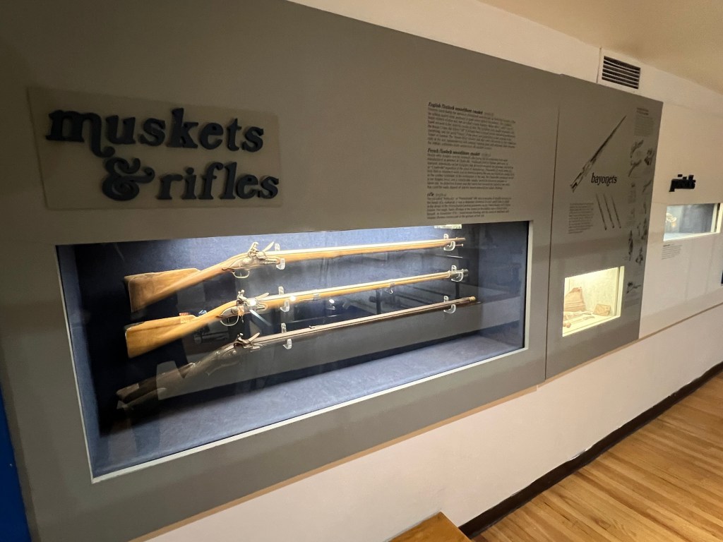
Artifacts of the soldiers equipment
Artifacts of American soldiers
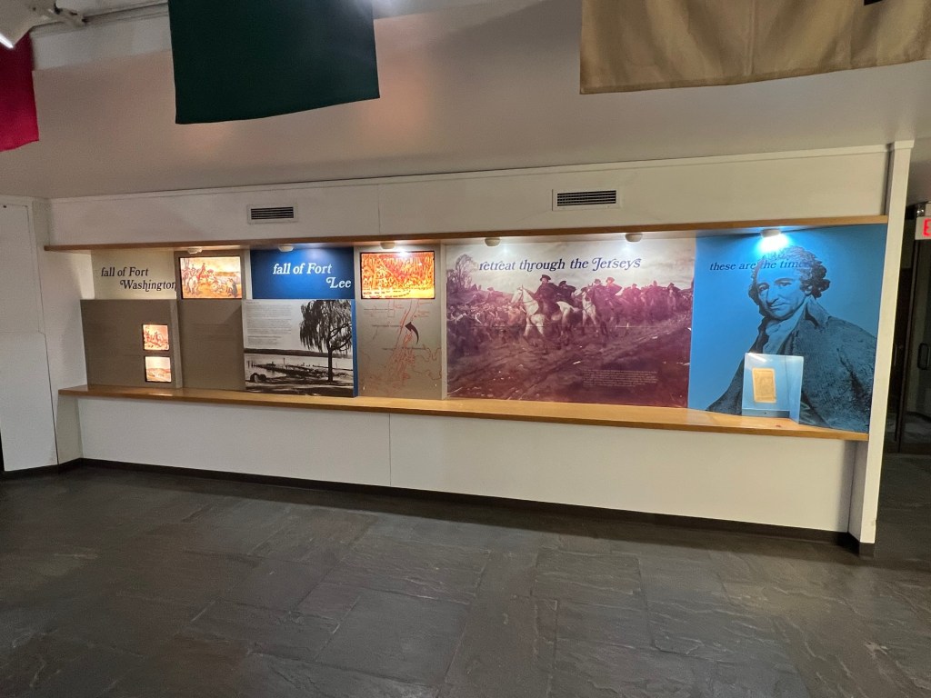
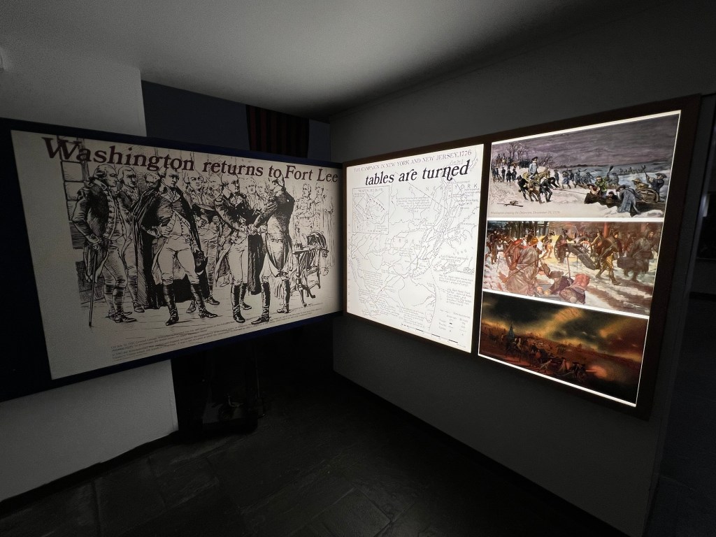
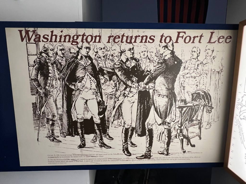
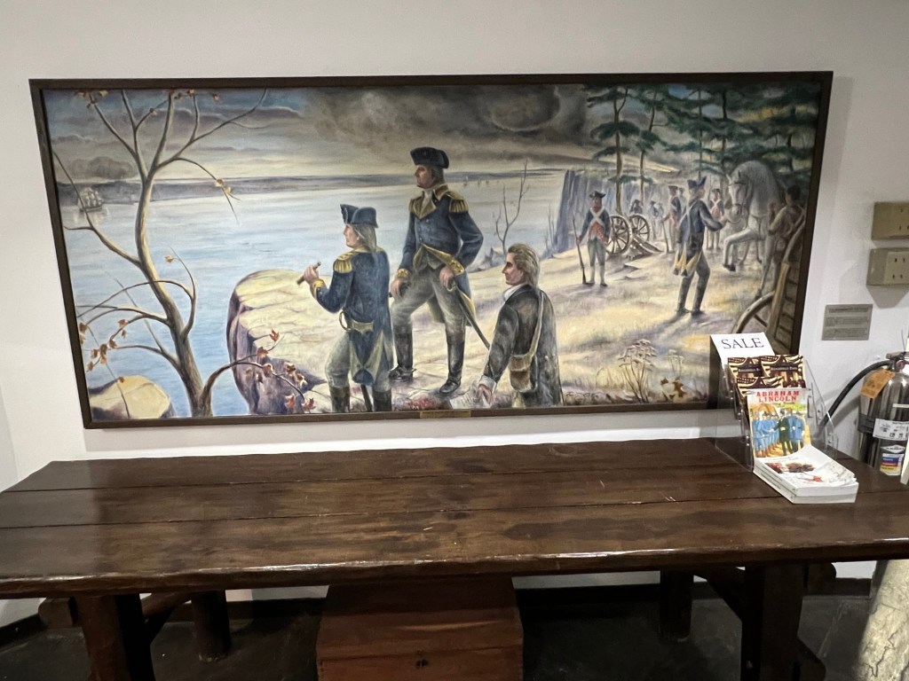
Washington returns to Fort Lee
Washington Returns to Fort Lee
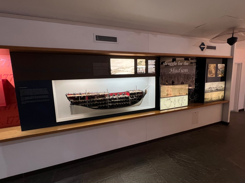
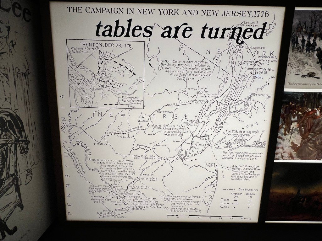
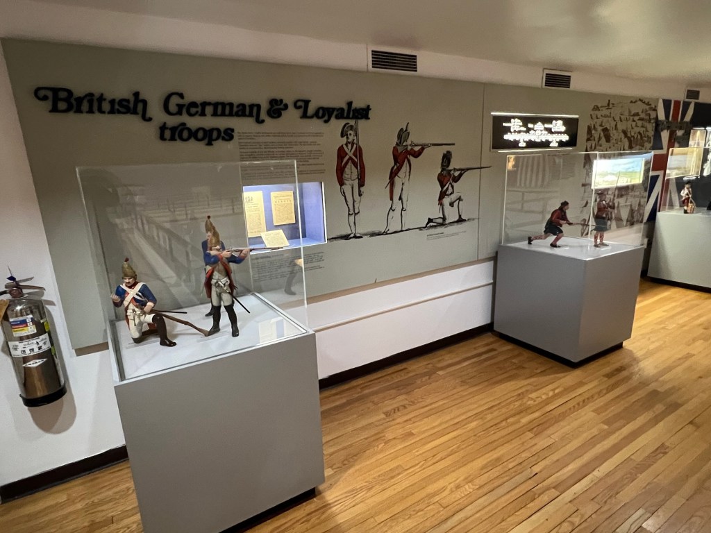
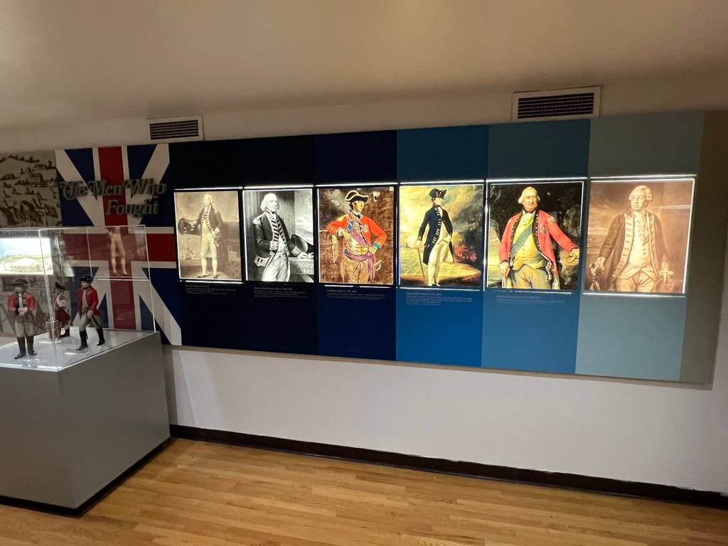
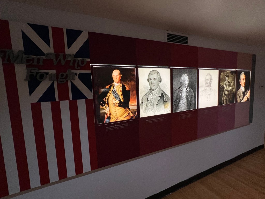
The battles and triumphs of General Washington, his fellow generals and the troops during the war effort.
The American defenses
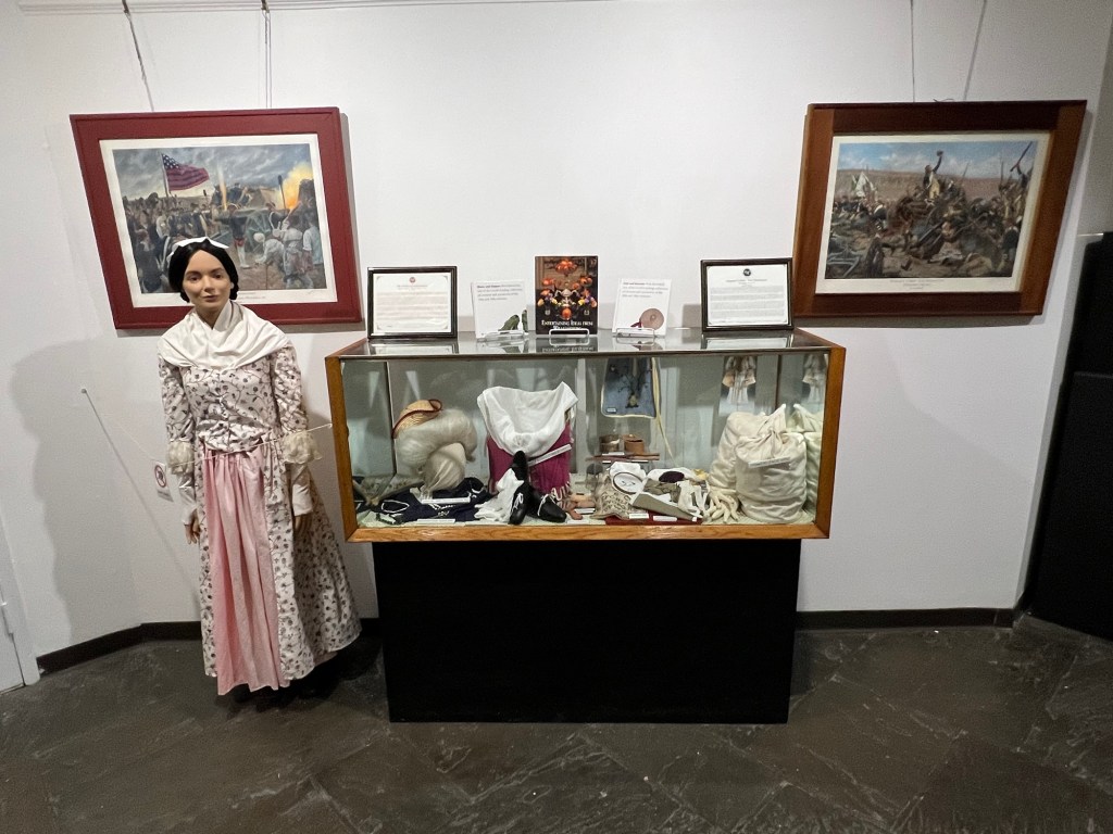
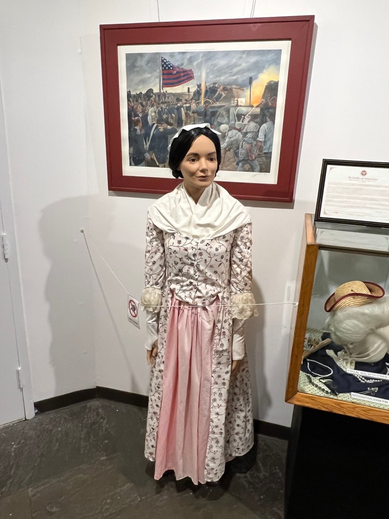
American Women’s display
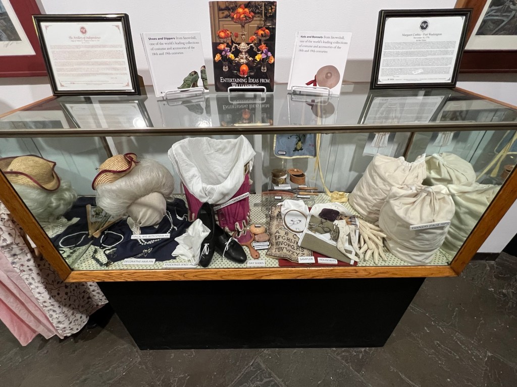
Women’s accessories during the Revolutionary War
Women’s clothing
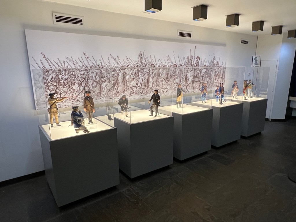
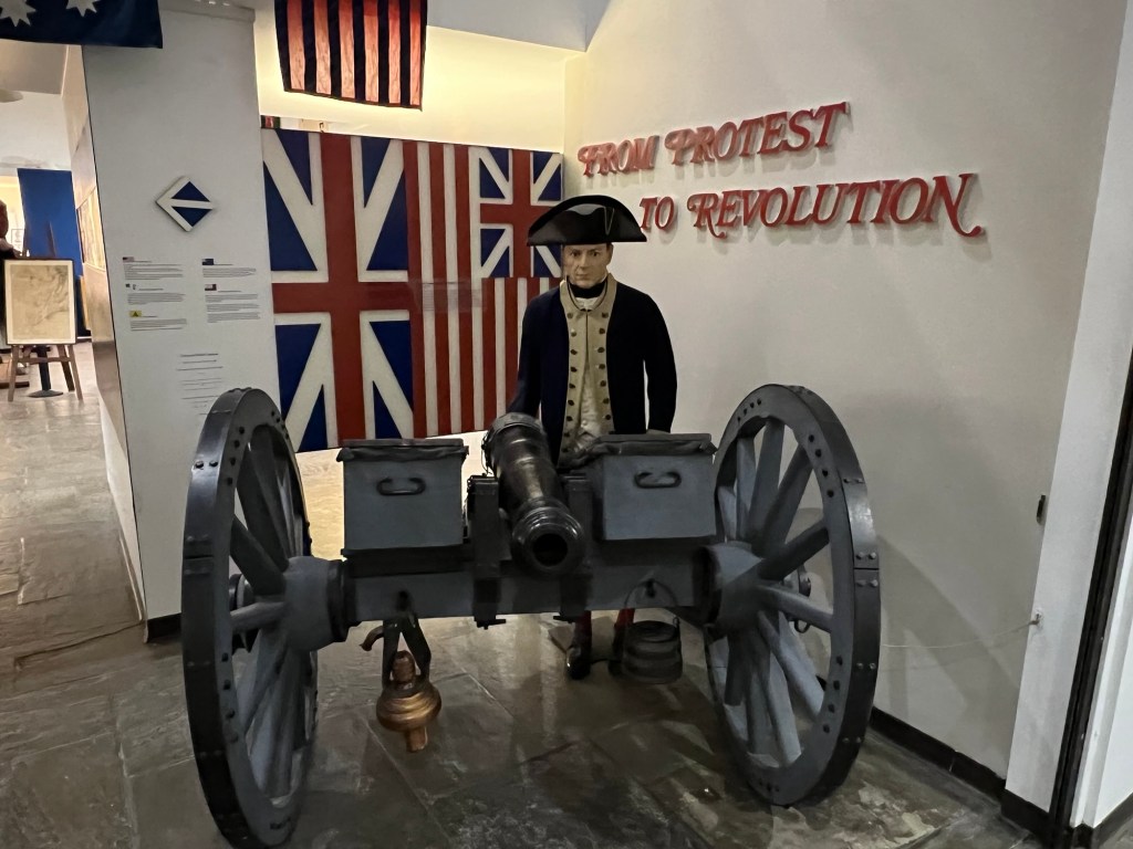
The Patriot display in the back gallery
The Patriot display
Spying on the British
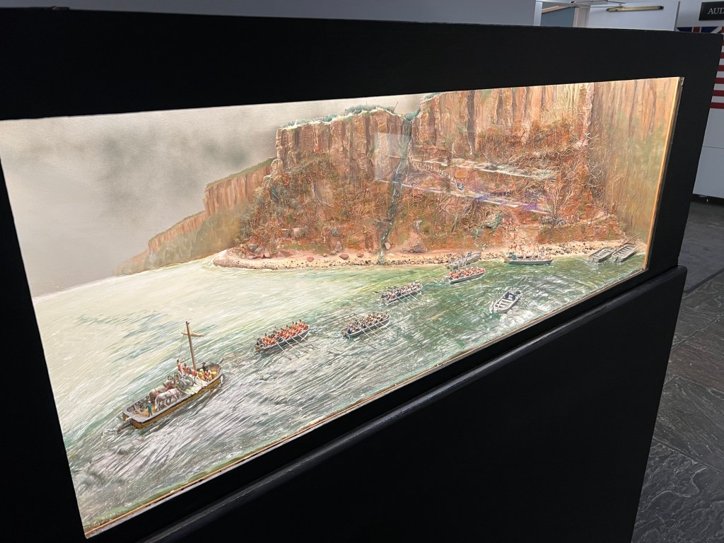
The Battle of the Palisades
Cannonballs from the War
The second floor galleries at the Visitors Center better describe the people involved with the war effort
Every semester I challenge my Business 101-Introduction to Business students to a project. This year we promoted the Garretson Forge & Farm for the “Bergen 250”, the 250th Anniversary of the Revolutionary War in Bergen County, NJ. Our concentration was on the historical Garretson Forge & Farm in Fair Lawn, NJ. The students had to create a series of events to promote the site and they did an excellent job with the project!
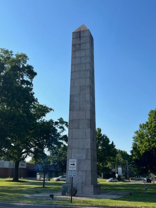
Camp Merritt Memorial Monument marks the center of an important World War I embarkation camp, where more than one million U.S. soldiers passed through on their way to and from the battlefields of Europe.
The Front of the Camp Merritt Memorial Site
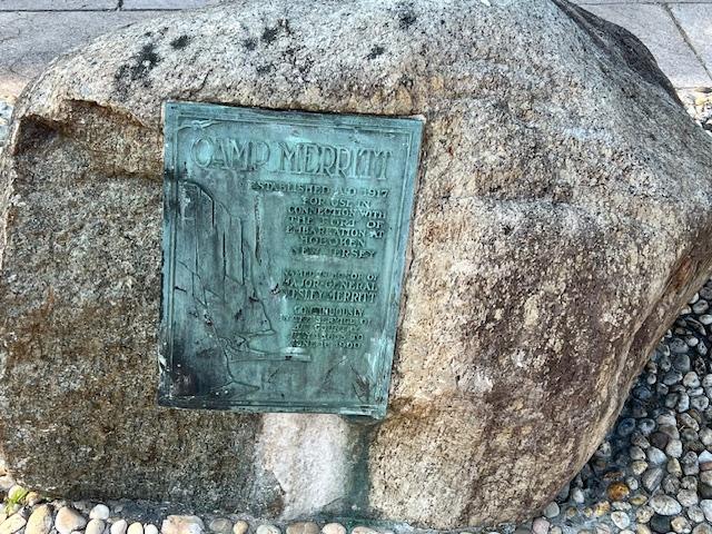
The inscription on the memorial
In August 1919, the Bergen County Freeholders purchased land for the monument from what was the approximate center of the camp at the intersection of Madison Avenue and Knickerbocker Road in Cresskill. In 1922, work on the shaft commenced. Modeled on the Washington Monument, the memorial is a 65′ high granite obelisk. On the base are the names of the 578 people who died in the camp, mostly as a result of the 1918 worldwide influenza epidemic.
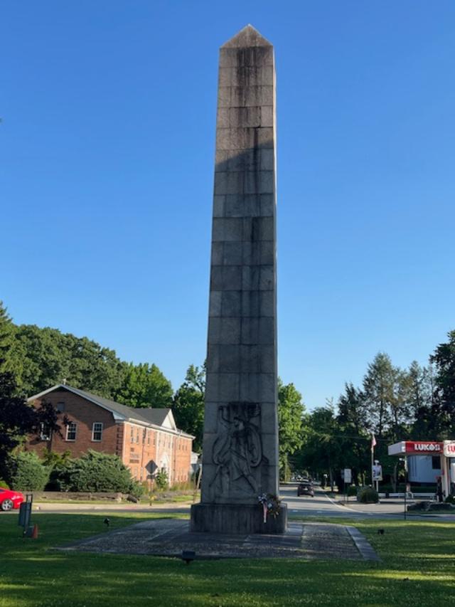
The historic memorial facing the circle lawn
A large Art Deco style carved relief by the sculptor Robert Ingeroll Aitkin (1878-1949) shows a striding “doughboy” with an eagle flying overhead. Set into a large boulder is a copper plaque with a relief of the Palisades, illustrating that Camp Merritt was used as an area for embarkation, designed and made by the local artist Katherine Lamb Tait. In the ground is a three dimensional stone carving of the map of Camp Merritt.
Artist Robert Ingeroll Aitkin was an American born artist who studied at the California School of Design. He was known for his historical sculptures (Wiki).
The “Doughboy” on the back of the memorial
The troops training at the site during WWI
The Camp Merritt Monument was dedicated on May 30, 1924 by a number of state and federal dignitaries. General John J. “Black Jack” Pershing gave the dedicatory address to a crowd of 20,000 people. Camp Merritt, located midway between Cresskill and Dumont and 12 miles from Hoboken, received its first soldiers in October 1917. Originally called Camp Tenafly”, and covering an area that included Cresskill, Demarest, Dumont, Haworth and Tenafly, it was eventually named for General Wesley Merritt, a gallant Civil War officer who was in the service of his country from 1855 to 1900.
The historic marker sits before the memorial
Little publicity surrounded the camp as it was deemed vitally important to keep troop movements a secret. The soldiers would march with their heavy packs and supplies to the trains or over the Palisades to the Hudson River to board boats that would take them to their European-bound ships docked in Hoboken. The last soldier passed through in the beginning of 1920.
The map of the camp behind the memorial
The camp was 770 acres in size and had a capacity of 42,000 men (two thousand of them officers). It was strategically built near major rail lines, facilitating the transport of soldiers to the camp. It contained 1300 buildings of all varieties. The base hospital alone was composed of 93 buildings. A staff of 300 nurses treated 55,000 sick men. 8000 men representing 40 different nationalities were nationalized in the Camp and made citizens of the US. Camp Merritt had its own newspaper, the Merritt Dispatch established and edited by Charles Philip Barber, which was the only printed record of the camp’s activities. The editor and staff of the Merritt Dispatch were the first to promote the idea of the monument.
Another view of the back of the memorial
After the camp was sold, it suffered three suspicious fires while the buildings were idle, each one worse than the last. The second fire in March of 1921 destroyed a hundred buildings. The third fire was the most spectacular, destroying almost all of what was left of the camp and detonating two stores of dynamite that had been stored for demolition purposes. Eighteen fire companies (including three from New York City, which came by way of the Dyckman Street Ferry) struggled to prevent the fires from spreading to adjacent homes. Other fire companies came from Tenafly, Closter, Bergenfield, Cresskill, Demarest, Teaneck, Hackensack and Palisades.
The Monument is located on the traffic circle and can be reached by foot and is illuminated at night.
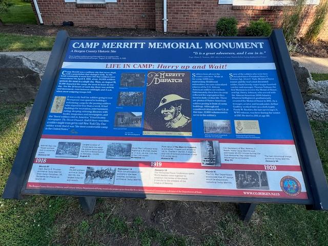
The signs from around the circle describing the site:
Sign One:
Sign Two:
Sign Three:
Sign Four:
The closing of the site and purchase from Bergen County, NJ for development.
2015 Bergen County Division of Cultural and Historic Affairs
Disclaimer: This information was taken directly from a pamphlet from The Bergen County Division of Cultural Affairs & Historic Affairs in Bergen County, New Jersey. You must stop off on one of the side streets to see the monument and the information boards on the site are off to the west side of the circle. Try to walk around the monument on the circle itself to see the most detail.